@md.asrafull.karim: আমি তোমাকে আমার ছায়ার মতো করে রাখতে চাই#s #fypシ #following #vairalvideo #CapCut

MD asrafull karim jehad
Open In TikTok:
Region: BD
Thursday 15 August 2024 08:31:58 GMT
48
10
1
1

Music

Download

Comments

cute.baby6067
@✈️🌷সৌদি প্রবাসীর বউ ✈️🌷 :
মেয়েটার নামটি কি শোনা যাবে 🥰
2024-09-07 02:45:45
0
To see more videos from user @md.asrafull.karim, please go to the Tikwm homepage.

Other Videos

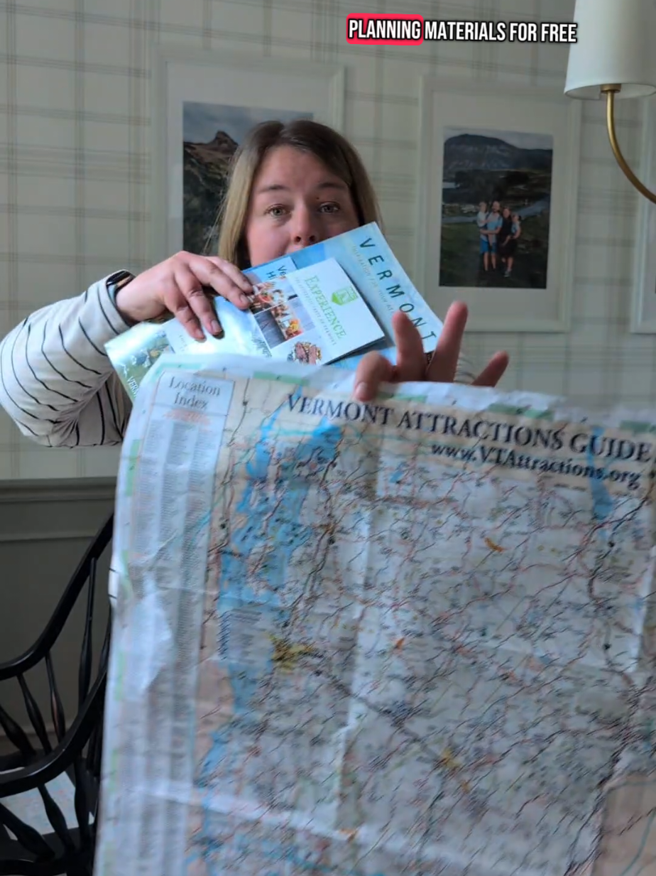
Here’s how I would adjust this activity for different ages or levels ⬇️ For younger kids or lower-level learners (scaffolding down): -Go through the state booklets ahead of time and stick on pre-labeled Post-it notes (for example, “Ben & Jerry’s 🍦” next to the corresponding activity).  Then your child can flip through the booklet and choose from the preselected options, moving the Post-its from the booklet onto the map. -Skip the official state materials and make your own picture-based planning booklet using Canva (free). Add photos of places like the Ben & Jerry’s tour, Shelburne Farms, and other landmarks. Let your child move Post-it notes from that booklet to the map, or let them cut out the pictures and glue them onto the map. -Split the big map into sections and color code or shape code each one. For example, outline the Burlington area in orange with a star, and the Upper Lakes region in blue with a heart. Then go through the travel booklet together and mark matching symbols next to the activities, making it easier for your child to pair them to the right spot. -You can combine any of these ideas to suit your learner’s needs. For older kids or higher-level learners (scaffolding up): Remove the pre-labeled Post-its and markers so they do 100 percent of the area comparison and matching between the brochures and the map. Take away the color-coded or shape-coded map sections and have them figure out for themselves how far away activities are and estimate drive times. Have them go a step further and assemble a “wish” itinerary. To give them some structure, provide an itinerary template they can fill in, like: Day 1 Breakfast: Activity 1 (with drive time) Lunch (with drive time) Afternoon activity (with drive time) #kelsewhatelse #summerkidactivities #midwestmom
Here’s how I would adjust this activity for different ages or levels ⬇️ For younger kids or lower-level learners (scaffolding down): -Go through the state booklets ahead of time and stick on pre-labeled Post-it notes (for example, “Ben & Jerry’s 🍦” next to the corresponding activity). Then your child can flip through the booklet and choose from the preselected options, moving the Post-its from the booklet onto the map. -Skip the official state materials and make your own picture-based planning booklet using Canva (free). Add photos of places like the Ben & Jerry’s tour, Shelburne Farms, and other landmarks. Let your child move Post-it notes from that booklet to the map, or let them cut out the pictures and glue them onto the map. -Split the big map into sections and color code or shape code each one. For example, outline the Burlington area in orange with a star, and the Upper Lakes region in blue with a heart. Then go through the travel booklet together and mark matching symbols next to the activities, making it easier for your child to pair them to the right spot. -You can combine any of these ideas to suit your learner’s needs. For older kids or higher-level learners (scaffolding up): Remove the pre-labeled Post-its and markers so they do 100 percent of the area comparison and matching between the brochures and the map. Take away the color-coded or shape-coded map sections and have them figure out for themselves how far away activities are and estimate drive times. Have them go a step further and assemble a “wish” itinerary. To give them some structure, provide an itinerary template they can fill in, like: Day 1 Breakfast: Activity 1 (with drive time) Lunch (with drive time) Afternoon activity (with drive time) #kelsewhatelse #summerkidactivities #midwestmom

About