Language
English
عربي
Tiếng Việt
русский
français
español
日本語
한글
Deutsch
हिन्दी
简体中文
繁體中文
Home
How To Use
Language
English
عربي
Tiếng Việt
русский
français
español
日本語
한글
Deutsch
हिन्दी
简体中文
繁體中文
Home
Detail
@freeao: #test #lol
freeaoi
Open In TikTok:
Region: NI
Monday 02 December 2024 20:43:24 GMT
23
4
0
0
Music
Download
No Watermark .mp4 (
0.21MB
)
No Watermark(HD) .mp4 (
1.3MB
)
Watermark .mp4 (
0MB
)
Music .mp3
Comments
There are no more comments for this video.
To see more videos from user @freeao, please go to the Tikwm homepage.

Other Videos
Like a bunch of White Whales 😂 #BabiesComing #Babies #Lambs #Ewes #Sheep #Pregnant #Preggers #CantWait #TheyOverIt
trigger warning ⚠️ in in shock still I just wish my nephew was still here my sister and I are exhausted and this hasn't even begun @ashleybelcher3 #fyp #justiceforethanb #wetriedtisavehim #ReadySetLift #anotherstatistic #ittakesavillage #whendoesitend #childprotectiveservices #detriotpolice
#العلايه #شرق
Sân cỏ là nơi đàn ông khóc nhiều nhất⚽️ #football 🥈
If Not for This Muslim Scientist , We Might Not Have Modern Technology, al khwarizmi #technology #tech #techtok #islam #muslim #allah #muslimtiktok #islamic
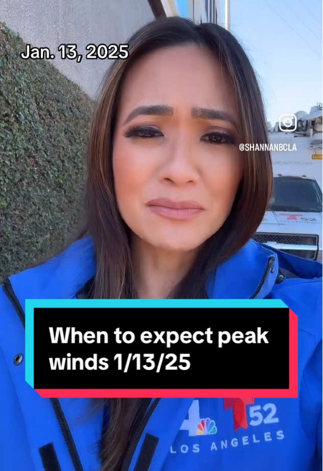
Wildfire Weather Update 1/13/25 The next round of moderate to strong Santa Ana Winds are developing today and will increase tonight through Wednesday. Peak winds arrive around 4 a.m. Tuesday through midday Wednesday. All of Tuesday and the first half of Wednesday will be the most concerning time frame. This will be the time period of locally damaging winds with extremely critical fire conditions for wind prone locations. Red Flag Warnings are in place through Wednesday at noon. *PDS (Particularly Dangerous Situation) Red Flag Warning - For the 4th time in 3 months, the National Weather Service has issued a PDS Red Flag Warning for three locations in LA and Ventura County (see below). This begins during peak winds from 4 a.m. Tuesday through Noon Wednesday. Gusts could reach 70 mph for mountain and foothill locations. *This round of wind is expected to be weaker than last Tuesday’s windstorm (east to north east 45-55 mph vs 75-85 mph) and for different locations than last. This time is because of the duration of winds in combination with dry relative humidity, and dry fuels fire growth will be explosive and hard to contain. Locations of concern: •WESTERN SAN GABRIEL MOUNTAINS •I5 CORRIDOR •SOUTHERN VENTURA COUNTY MOUNTAINS •SANTA SUSANA MOUNTAINS •VENTURA VALLEYS - MAINLY NEAR SIMI VALLEY/MOORPARK/ SANTA PAULA/SOUTH MOUNTAIN •WESTERN SANTA MONICA MOUNTAIN •NORTHERN SAN FERNANDO VALLEY – MAINLY HIGHWAYS 118/210 CORRIDORS FROM PORTER RANCH TO SAN FERNANDO) •VENTURA COUNTY COASTAL PLAIN - MAINLY HILLS ABOVE CAMARILLO/OXNARD WESTWARD TO VENTURA #nbcla #weather #SantaAnawinds #fires #LACounty #winds
About
Robot
Legal
Privacy Policy